

One can reasonably argue that with the untimely collapse of the Old Man of the Mountain nearly 25 years ago, our beloved Mount Monadnock moved up a notch on the list of the Granite State’s most iconic topographical features. Our backyard peak, loosely translated from the original Abenaki menadena as “the mountain that stands alone,” attracts upwards of 125,000 hikers a year, making it the most climbed mountain in America.

The irony for those of us who spend quite a bit of time on the mountain that stands alone is that it is very hard to actually stand alone on Monadnock. Most first-time hikers to our region’s quintessential summit use the White Dot and/or White Cross trails from Monadnock State Park Headquarters west of Jaffrey off Route 124. Though they’re among the most direct routes to the top, the north, west, and south trails are less crowded and just as scenic.
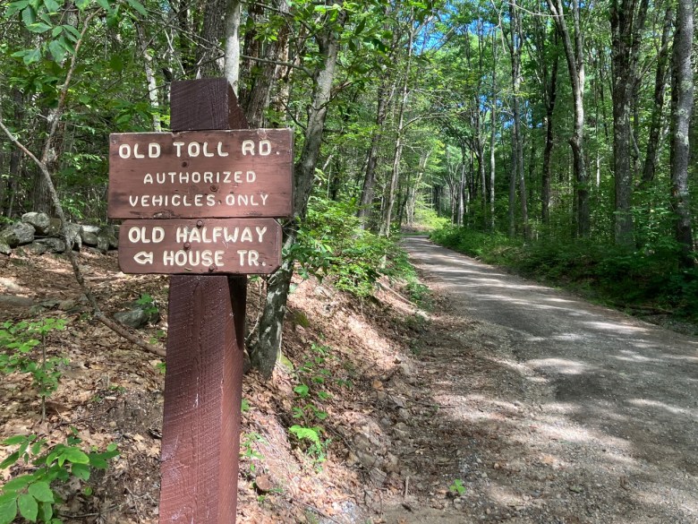
My hiking colleagues, Tony and Dave, and I recently explored a track that avoided the selfie-seeking, flip-flop-wearing masses — departing from the south at the Old Toll Road trailhead. The starting elevation from that location is 1,500 feet, higher than all the other main trailheads to the summit except for Pumpelly (1,510 feet). Given that the most direct route to the summit from the Old Toll Road trailhead via the Old Toll Road and White Arrow trails is only 2.3 miles, this is one of the least strenuous avenues to the rocky pinnacle, short of a helicopter drop-off.
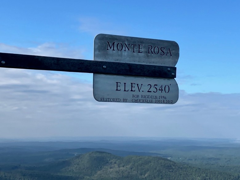
Our ascent during our recent outing was a bit longer – about 2.7 miles – as we detoured slightly west, taking the Monte Rosa trail and then the Smith Summit trail. Following a relatively gentle 500-foot ascent along the broad Old Toll Road, we turned left onto the Monte Rosa trail, beginning the real climb. Between the turnoff (2,110 feet) and the Monte Rosa weathervane (2,510 feet), the trail rises sharply for about six-tenths of a mile, offering an outstanding vista to the south and southwest from the apex of the Monte Rosa path.
For those of you who don’t know – and I include myself in that group until I did research for this article – the origin of the name Monte Rosa apparently comes from guests of the former Old Halfway House Inn. The site was famous among this country’s literary aristocracy in the second half of the 19th century and burned to the ground in 1954. Looking up to the subpeak where the current weathervane stands as a solitary sentry, guests at the inn believed the mountain took on a pink sheen in the evening sun, hence Monte Rosa.
Backtracking roughly a quarter of a mile from the weathervane overlook, we continued on toward the summit via the Smith Summit trail. While the overall route to the mountain’s apex might have been a bit less demanding than some other main trails, there’s nothing easy about the climb up Smith Summit, as it gains 600 feet in seven-tenths of a mile, much of it through and over massive boulders. The route does, however, offer the adventurous hiker stunning views to the south and the west.
From the time we joined the Monte Rosa trail until we reached the summit, we did not see another human being. Once up top, we were joined by a steady stream of hikers, including a family with young children (both under 10 years old) summiting for the first time. Another irony of Mount Monadnock is that you invest a great deal of time and sweat equity to reach the top, but soon realize that the winds and cooler temperatures up yonder quickly chill the body, usually leading to a short stay at our region’s terrestrial zenith.
This routine played out on our recent hike. Following a brief refueling stop, we bid adieu to the summit crowds and started our descent. We took the most direct path back to civilization, slowly making our way down the steep and challenging White Arrow trail until we reached the comparatively friendly Old Toll Road. The White Arrow is difficult, though, as it drops over 1,000 feet in one mile through boulder fields and steep sections before easing as it joins the Old Toll Road.
Although the route down was still quiet by Mount Monadnock standards, we passed several groups trudging up the mountain. Exchanging hiker salutations and offering encouragement, we continued toward our car, basking in the ineffable glow of another glorious day on our neighborhood’s topographical treasure.
In closing, climbing this iconic peak is not easy and requires good physical fitness. If you are new to hiking, I strongly recommend training on some of the smaller peaks in the region before tackling Mount Monadnock. Most importantly, purchase a Hike Safe card from New Hampshire Fish and Game, as it serves as your hiking insurance should you run into any trouble in the wilds of the Granite State. Now get out and enjoy the trails!
Peterborough resident Robert Beck is an avid hiker who, along with his close friends, takes every opportunity to enjoy the wonderful outdoor opportunities that our local Monadnock area, as well as the wider northern New England region, affords.